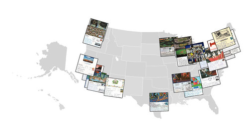
regular readers will know that i’ve been threatening to find some way to visualize the postcard project for quite some time, but have just never found the time to pull all the pieces together. well, as proof positive that procrastination will eventually pay off, the folks behind mappr have developed just what i’ve been looking for and created the software to enable flickr to server as a “collaborative mapped photo space”.
as you can see they’ve already developed a graphic using the the postcard project dataset! i look forward to seeing how their mappr system matures.
and remember, why do today what you can put off until tommorrow when there are obviously much more ambitious people in the world 
